 |
| The start of the Minffordd Path |
I was itching to get there and for several days had been keeping a close eye on weather forecasts. Various sites, both mountain specific and general, were pretty unequivocal that the outlook was due to be clear blue skies and sunshine towards the end of this week. I needed no second bidding to book a couple of last-minute leave days and we set off to Wales yesterday morning around 6:30am. It was a beautiful morning here in Manchester and in Cheshire too. Luminous mist lying low across the fields and the dazzling sunshine above that made sunglasses a necessity as we drove along the M6 and then the M56. When we hit Denbighshire, however, fog filled many of the valleys and the sunlight made little impact on its grey demeanour.
I comforted myself with the forecast, which I'd double checked only an hour or so earlier before setting off, and we agreed that (a) we were still a good drive from Minffordd and (b) it was still early and the predicted sunshine hadn't had time to burn the mist off. It seemed we were right too, when we neared our destination: some cloud clung to the crags and hilltops above Bwlch Llyn Bach but it seemed to be clearing and when Rich dropped me off at the Minffordd car park the occasional glimpses I caught of the tops as I started off looked promising.
I knew from trip reports and forum posts that the climb was a steep one and that the provision of stone steps does little to mitigate this. It was tough going on the calf muscles as I ascended around 700 feet in half a mile.
The path climbs through lush woodland, with grey cliff faces showing through the foliage now and then. Waterfalls are a constant presence in the early stages - even when you couldn't see the Nant Cadair that made its way down to the valley here, the sound of the cascades accompanied you as you travelled in the opposite direction. The steepness of the steps made my progress slow: a fellow walker had set off from the car park just ahead of me and I'd overtaken him when he stopped to adjust his backpack. When he set off again, I stood to one side to let him go ahead, saying I was a lot slower than he was, and it wasn't long before he disappeared above me.
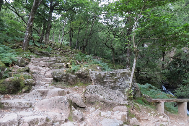 |
| I'm not sure how many steps there are to Cwm Cau but they certainly give your calf muscles a workout. |
 |
| The Nant Cadair making its way down to the valley. |
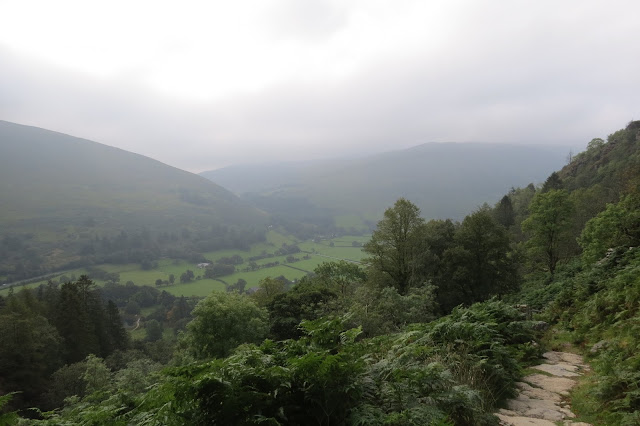 |
| Looking back down to the valley south of the mountain. |
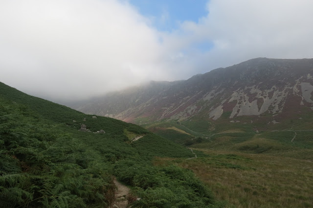 |
| The cloud looked as though it would clear from the summit ridge. |
Lovely though the woods were, the air beneath the canopy was quite close in the morning sun and I was working up a fair old sweat, so I was glad when the path opened out. I was now on a bracken covered slope where there was a gentle but ever-so-welcome breeze to cool me down. The gradient eased off a little here too, though the edge was somewhat taken off my feeling of relief by the fact that the cloud seemed to be building on top of the summit ridge rather than otherwise.
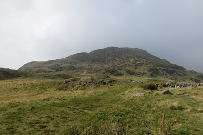 |
| Craig Llwd |
 |
| Heading along Cwm Lau, the glacial valley part way up the mountain. |
 |
| One of the last splashes of sunlight I was to see for several hours. |
 |
| Llyn Cau |
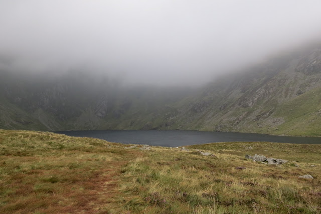
Llyn Cau, when it came into view, proved to be quite large. Though I can well imagine it looks beautiful under blue skies, I have to say it appeared quite dark and menacing beneath the turbid atmospheric conditions that were developing that morning. Little wonder there are so many myths and folk stories associated with this mountain: looking up from the dark waters to the increasing amount of cloud swirling like smoke on the ridges, it felt a little as though I was going to be walking into one of them. I stopped a while just above the eastern shore of the lake, trying and failing to get a picture of it that satisfied; then I tried to get a 360 degree panoramic shot with my phone but both attempts at that were unsuccessful so I comforted myself with a handful of Wine Gums and backtracked a little to where the Minffordd Path climbs up onto the ridge.
 |
| Looking up to the ridge walk ahead of me. |
I wasn't very far up before I met a couple heading down. I'd assumed when I first saw them that they had done the same route as I was doing in reverse but when we got talking they said the increasingly poor visibility and strong winds up top had made them chary of continuing and they were re-tracing their steps back down. This gave me some pause for thought, I have to admit. In the event, I decided to press on and see how things lay when I was up there myself. Once I reached the ridge I was glad I'd persevered - the winds were strong at times but the path was well-defined and at no point did I feel any worry about exposure, a concern that couple had mentioned.
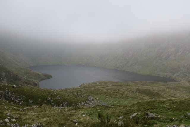 |
| Llyn Cau from halfway up to the ridge. |
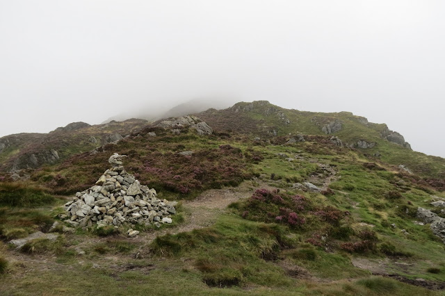 |
| Up on the ridge. |
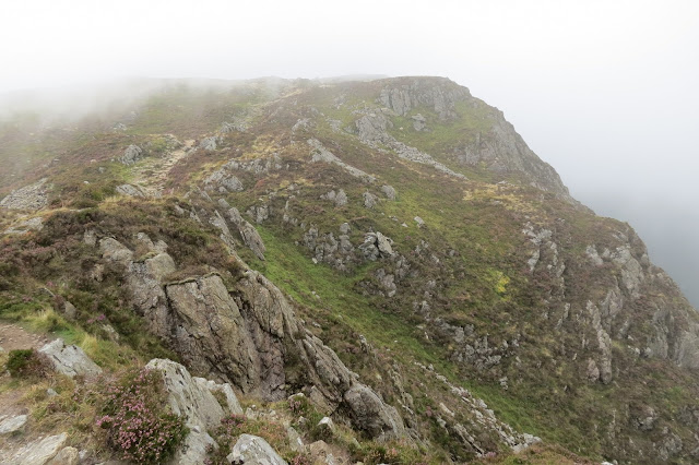 |
| The ridge path. |
From the base of the ridge to the principal summit, Penygadair, is a climb of around 2049 feet. It sounds daunting but it was a steady climb through interestingly varied terrain and I actually found it far easier than the initial ascent through the woods.
 |
| Looking down from the ridge. |
As I crossed the ridge above Craig Cau, the young walker I'd stopped to let pass me on the steps appeared out of the gloom. He was on his way back down from the summit before I'd even got there. "I told you I was slow," I smiled. He said that his walking poles had given him the advantage, which was generous of him; I think, to be more truthful, the fact that he was clearly in far better condition than I am might have swung it in his favour, though I did appreciate his generosity. We exchanged a couple of remarks about the conditions at the summit before bidding each other goodbye and with that he disappeared into the mist with the same briskness as he'd displayed at the start of the walk, a couple of thousand feet below.
I plodded on in my usual fashion. I wasn't far from the summit, Penygadair, now and the path traversed rocks now rather than smooth grass. For the most part it was still easy to follow, even with visibility of a few metres at best, as sandy-coloured gravel marked its course; even so, I still managed to follow a few false trails, at one point huffing-and-puffing my way over several boulders to find I'd followed a course parallel with a nice, easy stretch of track. Talk about making life difficult for yourself.
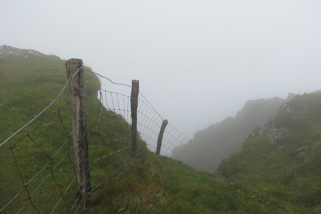 |
| Not even the most adventurous sheep would try and get round that fence. |
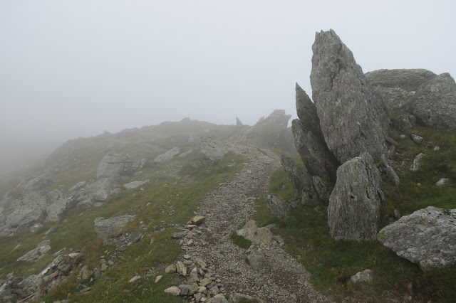 |
| Visibility became increasingly poor as I crossed Craig Cau. |
 |
| The terrain became rockier underfoot as I neared the summit, Penygadair. |
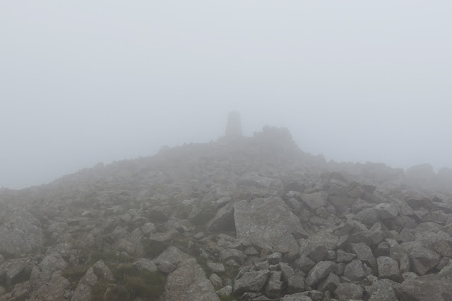 |
| Penygadair, 2930 ft. |
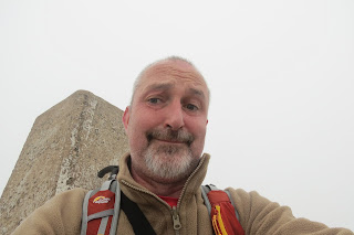 |
| At the trig. |
This accomplished without mishap, I clambered down and considered whether to stop for lunch at the handsome shelter. It'd been around 4 hours since I'd had breakfast and, even though I didn't feel hungry, I felt like I probably should eat something more substantial than Wine Gums. As I approached, guffaws of laughter and loud voices made it sound like a party was going on inside. I decided to press on along the ridge even though I was beginning to feel as though I'd been magically transported into the middle of winter.
 |
| The shelter at the summit. |
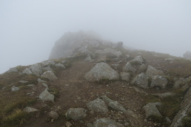 |
| The path along the summit ridge, following the north face of the mountain closely. |
The path was relatively easy to make out, the route I'd marked following the path on the OS map along the edge of the northern face of the mountain. I was a little taken aback, though, when it started to descend from the broad back of the ridge and after using hands to descend a couple of steep steps on damp grass and rock, I had a bit of an attack of nerves.
 |
| The rock step. |
I returned to the shelter just as the large party was leaving and suddenly found myself ravenous. With just another two couples in there now, I munched on my butties and took stock. I didn't fancy returning the way I had come nor did I like the idea striking out across the rocks; I decided to go back along the path and look at that alarming-looking rock step again. Perhaps the sustenance had made me feel more confident or it was just having had a reprieve from the cold wind and damp clag that made me adopt a more optimistic frame of mind, but when I looked again at the drop and beyond it, I could see a clear route back onto the saddle of the ridge. It was certainly no place to be careless or blasé but I felt now that it was within my capabilities. That said, it was very slowly and gingerly that I made my way past this part of the route.
 |
| Can that be sunlight making an appearance? |
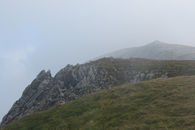 |
| Looking ahead towards Mynydd Moel. |
 |
| Looking down from the north face of the mountain. |
 |
| A closer look down from the north face of the mountain. |
After spending a while looking down into the valley below, I resumed my climb and arrived with a spring in my step at a massive cairn, which I assumed (wrongly) was the summit of Mynydd Moel. I clambered up this and took a summit selfie or two and then realised the actual summit cairn was over a fence and further up. So I duly headed up there.
 |
| The actual summit of Mynydd Moel. |
 |
| Looking back along the ridge towards Penygadair, |
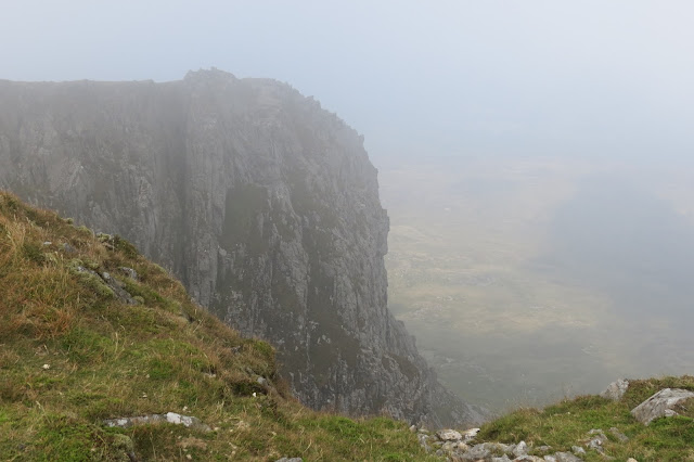 |
| Looking down from Mynydd Moel. |
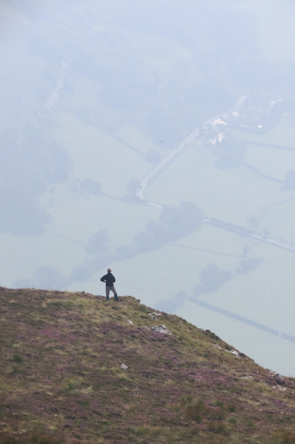 |
| A walker ahead of me on the way down. |
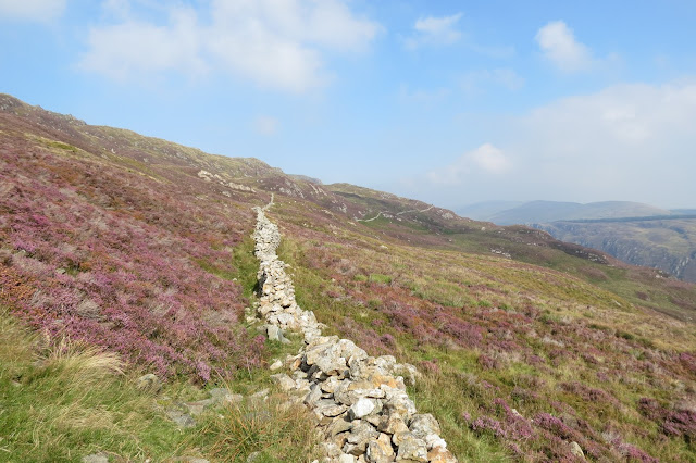 |
| Looking east along the southern flank of Mynydd Moel. |
 |
| The cloud finally clears off the mountain. |
 |
| Moelfryn in the forerground with Tal-y-llyn Lake in the valley. |
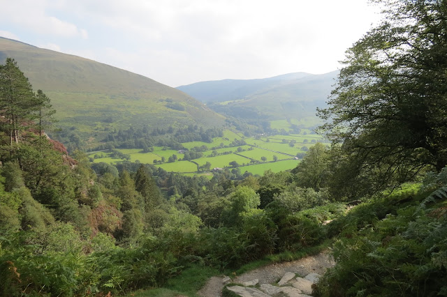 |
| The valley to the south of the mountain now mist-free. |
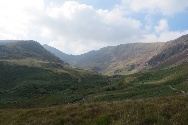 |
| One last view of Cwm Lau and the summit before I re-joined the woodland steps. |
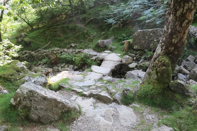 |
| Heading back down. |
In contrast with the morning, when I'd been glad to get out of the woods to gain a bit of breeze, I was now thankful to be back under the shade of the trees and out of the glare of the sun. Not as grateful, though, as I was for the tea room and visitor centre back at the Dol Idris car park. Here I stocked up on coffee, orange drink and a bag of crisps and plonked myself down outside in the shade to wait for Rich, who'd been working in Dolgellau.
 |
| Well-earned. |
We decided to head over to Barmouth for tea, a really charming seaside town that I've been to a number of times but which Rich had never visited before. In the early evening sunshine, the town and its expansive beach could hardly have looked finer to a first-time visitor and we got beautiful views across the estuary and up river too. Briefly I wondered how many people, if any, were standing at the Penygadair trig point looking back down at us but my belly was rumbling and the delicious seafood at The Lobster Pot, by Barmouth Harbour, soon drove all thoughts of anything other than culinary matters from my mind.
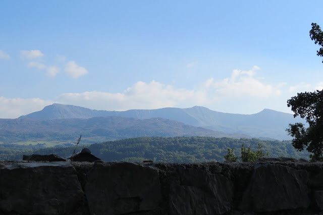 |
| The north face of the mountain from our drive to Barmouth. |
 |
| Barmouth harbour. |
Date: September 2015
Walk length: 9.5 km
Total ascent: 959 metres


0 comments:
Post a Comment